-40%
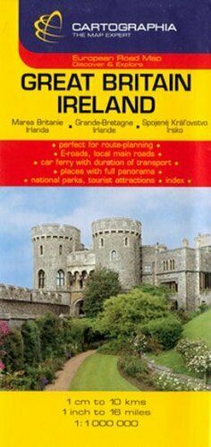
Map of Great Britain & Ireland, by Cartographia
$ 2.08
- Description
- Size Guide
Description
Map of Great Britain & Ireland, by CartographiaFolded paper road and travel map in color. Scale 1:1,000,000. Distinguishes roads ranging from motorways to other roads. Legend includes railways, state boundaries, international airports, viewpoints, natural sights, prehistorical monuments, antique ruins, ruins, fortesses/castles, cathedrals, monasteries, camping sites, isolated hotels, spas, beaches, National Parks. Includes extensive index to place names.
When opened, map measures approximately 30" x 40". Map is in multiple languages, including English.
Copyright 2007, ISBN 9789633524855
