-40%
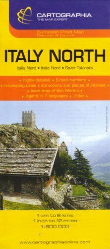
Map of Italy, by HEMA Maps
$ 3.66
- Description
- Size Guide
Description
Map of Italy, by HEMA MapsRoad and travel map of Italy with shaded relief and subtle color tints to differentiate lower elevations. Prioritizes places of interest so the traveler can plan ahead by marking which sites are worth a special trip and others that a worth a detour. Locates castles, monasteries, ruins, monunents, waterfalls, archeologial sites, national parks, scenic viewpoints. Locates youth hostels, camp sites, hiking shelters, and back country inns. Distinguishes 11 kinds of roads from expressways to secondary roads to planned roads to roads that are closed to traffic. Indicates gradients, passes, winter road closures, not recommended roads, roads closed to motorhomes or trailers. Shows road numbers and distances in kilometers. Locates railways, car-loading terminals, aerial cableways, car ferries, car ferries on rivers, shipping routes, railway ferries. Locates international airports, domestic airports and airfields. Scale 1:650,000. Folded paper map with protective hard cover. Legend also in Czech and Polish.
The map is printed on paper and has a protective coated cardboard cover.
When unfolded, map measures approx. 44" x 36", scale is 1:650,000
Publication date: 2006, ISBN
978-1875992966
