-40%
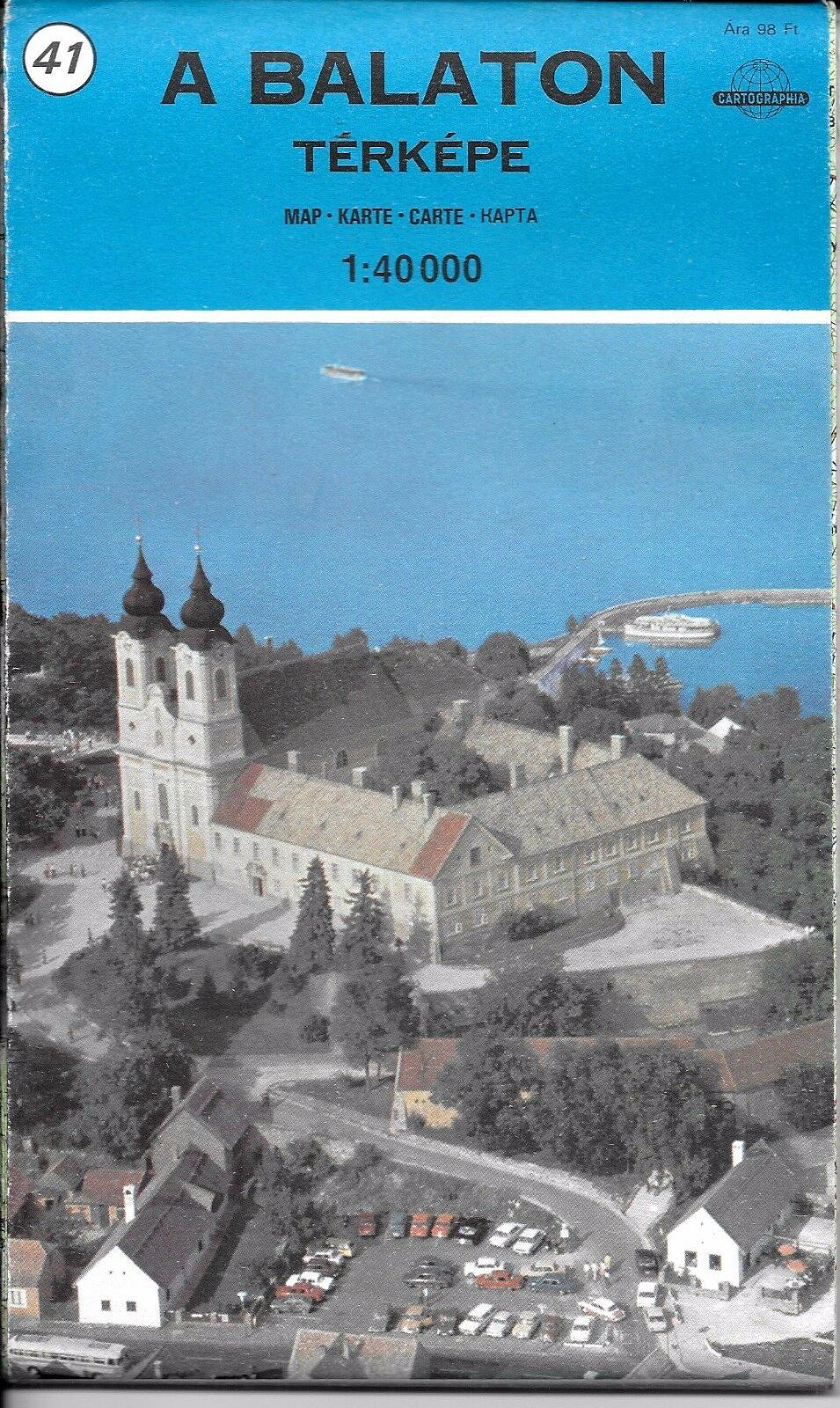
Map of Lake Balaton & region, Hungary, Cartographia (Hungarian version) 1:40,000
$ 3.66
- Description
- Size Guide
Description
Map of Balaton, Hungary by Cartographia (Hungarian version) 1:40,000#41 in this series, see index map.
Map is new, but over 25 years old. This map is a great example classic European cartography. Very hard to find item.
Rare, hard to find, dated, but an amazing, detailed, beautiful map with iron curtain cartography.
Two sided.
Folded road and travel map in color. Scale 1:40,000. Distinguishes roads ranging from motorways to non-surfaced roads. Legend includes railways, mountain railways, chair lifts, car ferries, frontier crossings, picturesque towns, national parks, international airports, airfields, World Heritage Sites, panoramas, tourist sights, scenic spots, historic monuments, Tumulus, mosques, medresses, churches, monasteries, castles, ruins, caves, camping sites, spas, beaches.
Map is printed on heavy duty paper. Map measures approx. 32" x 24" when unfolded, printed on both sides.
Original copyright 1990,
