-40%
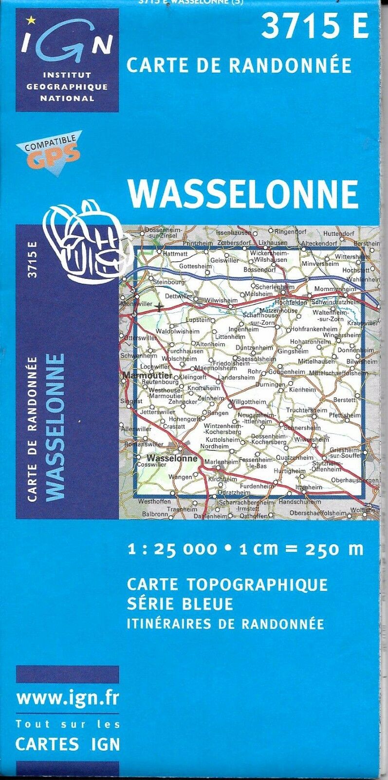
Map of Wasselonne, France, by IGN Map #3715 E
$ 3.66
- Description
- Size Guide
Description
Map of Wasselonne, France, by IGN Map #3715 EPart of IGN's Top25 series covering areas of particular tourist interest, this is a 1:25 000 topographic map of the surroundings of
Wasselonne, France
. This map is very helpful for outdoor activities, especially hiking and trekking.
This very detailed map shows contour lines at 10m intervals, any significant streams, forest covers, built-up areas and individual buildings, as well as hiking trails and other tourist information marked out includes campsites, religious buildings, windmills, monuments, dams, bridges, wells, lighthouses, towers and castles.
The map comes with a GPS compatible UTM grid and the legend is in French and English.
Note: Map is new
Publication date: 2010, ISBN
9782758527169
