-40%
Street Map of Rome, Italy, by Red Maps, 2019 12th Edition
$ 3.66
- Description
- Size Guide
Description
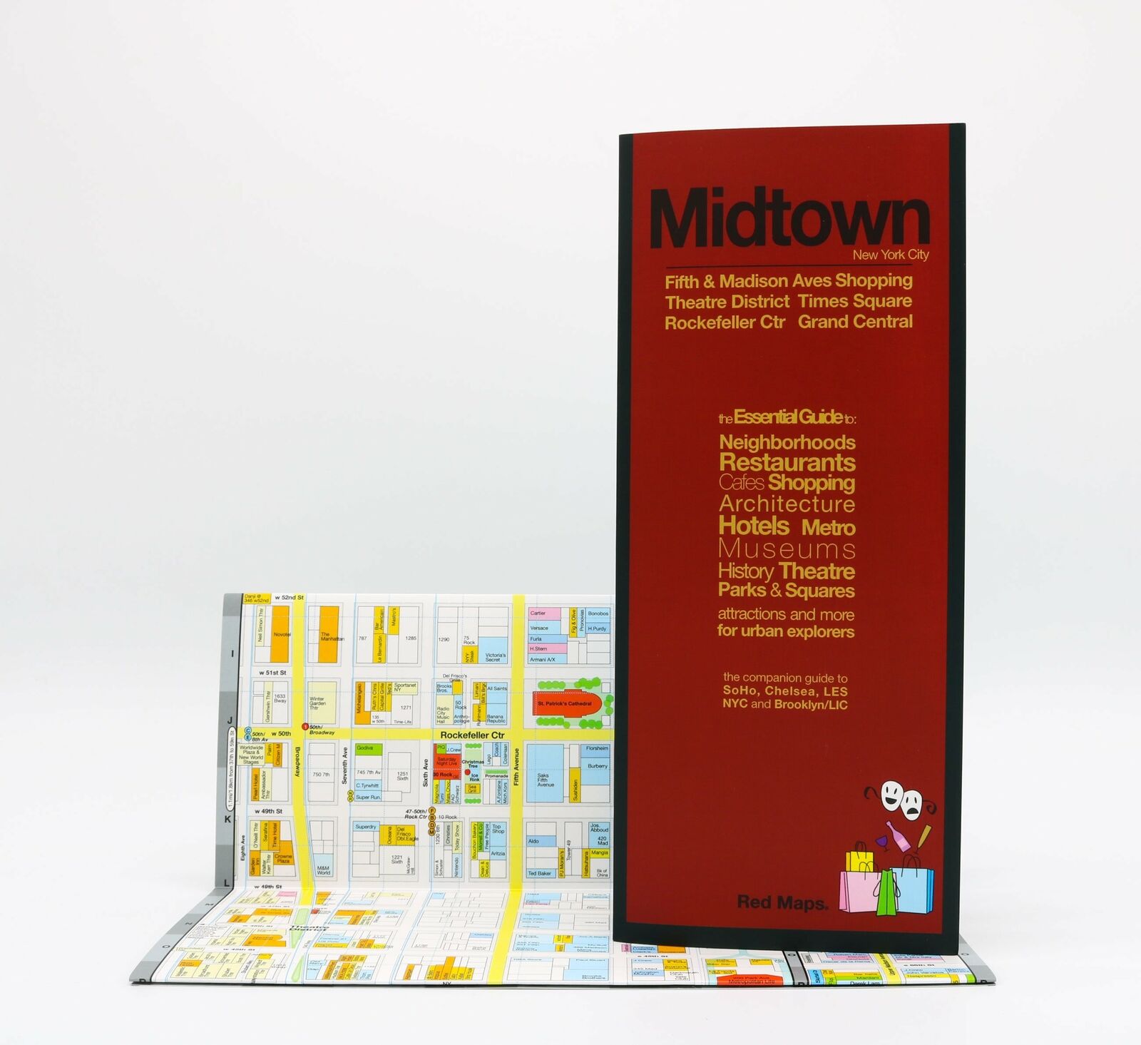
Street Map of Rome, Italy, by Red Maps, 2019 12th EditionFrom Vatican City to the historic Centro District and the ruins of Ancient Rome, the Red Map covers all the important and historic neighborhoods, with an additional insert map of the Flamino cultural area. The guide features extensive highlights of art, piazzas, churches, and architecture.
Concise lists of the best shopping and hotels; helpful descriptions of landmarks, museum collections, and integrated metro stops; Red Maps are known for clear and easy to read graphics. Red Maps are Designed and Made in the USA.
ON THE MAP:
- Museum Highlights & Historical Landmarks
- Independent, Local, and Luxury Shopping
- Centrally Located Hotels
- Theater, Sports, and Performance Spaces
- Metro Stops are shown right on the map!
- Parks, Gardens & Open Spaces
- Accordian-fold map: Open: 24 x 9 in. Closed: 4 x 9 in.
Despite Red Maps non-inspiring covers, they are great maps!
Copyright 2019 First edition, ISBN
9781892238733


